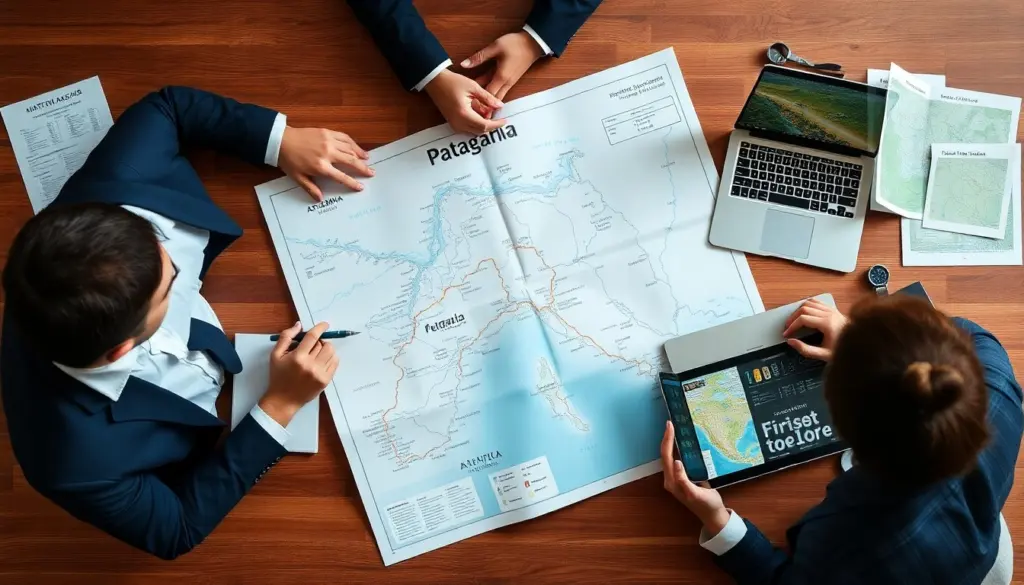
patagonia south america map helps travelers and planners locate parks, towns, and routes quickly. The guide shows national borders, major highways, and ferry links. It explains map symbols and scale so readers can plan trips. It lists digital and offline tools that work in remote areas. The text uses clear steps and practical tips to make map use easier for any trip to Patagonia. This expanded guide adds context on how to interpret map detail levels, which features to prioritize for different trip types (day hikes vs. multi-day drives), and simple workflows for combining paper maps with GPS and smartphone apps so users can make reliable plans even with intermittent signal.
Key Takeaways
- A Patagonia South America map clearly defines the region across southern Argentina and Chile, highlighting national borders, major highways, and provincial areas for effective trip planning.
- Major cities like Bariloche, Ushuaia, and El Calafate along with airports, bus terminals, and ferry connections are marked to help travelers manage transport and logistics.
- Top national parks such as Torres del Paine and Los Glaciares, plus key routes like Ruta 40 and Carretera Austral, are featured to guide visitors to important landmarks and trails.
- Understanding map scale, elevation, and terrain symbols is essential for estimating travel distances and navigating varied landscapes safely.
- Digital apps like Maps.me and Gaia GPS complement paper maps by providing offline access to topographic and trail information in remote areas of Patagonia.
- Practical tips include planning realistic routes with buffer time, confirming border crossings, carrying extra fuel, and sharing GPS tracks for safety during Patagonia trips.
Overview: What “Patagonia” Covers On A South America Map
Patagonia appears on a patagonia south america map as the southern section of Argentina and Chile. Maps mark the region from roughly the Colorado River in Argentina to Tierra del Fuego. Cartographers split Patagonia into Argentine Patagonia and Chilean Patagonia. The boundary follows the Andes for much of its length. A good patagonia south america map shows large empty spaces, wide steppe, ice fields, and fjords. It highlights provincial or regional borders such as Santa Cruz, Chubut, Río Negro, and Magallanes. The map also marks long distances between towns so travelers set realistic itineraries.
When looking at different map scales, small-scale maps (showing a wide area) are useful to understand the overall extent of Patagonia and major transport corridors, while larger-scale maps provide the detail needed to plan specific hikes, campsites, or fuel stops. Many maps also include inset panels for complex coastal or archipelago sections in southern Chile. Pay attention to the date and edition of a map: road alignments, ferry connections, and park access points change over time, so the map’s currency affects how you should plan.
Major Cities, Towns, And Access Hubs Shown On Maps
Maps list regional hubs that serve flights and buses. A patagonia south america map shows major cities such as Bariloche, Ushuaia, El Calafate, and Puerto Montt. Maps mark airport locations and main bus terminals. They show ferry terminals in southern Chile that link the mainland to islands. Smaller towns such as El Chaltén, Puerto Natales, and Punta Arenas appear on detailed maps. The maps note services such as fuel stations, hospitals, and customs offices. Travelers use those markers to plan fuel stops and overnight stays.
For practical trip planning, treat towns labeled as “hubs” differently from tiny settlements: hubs tend to have repair services, rental offices, and reliable fuel, while minor waypoints may only offer seasonal or limited services. Check map symbols for service hours where shown, and cross-reference with recent trip reports or local tourism sites before committing to long stretches without resupply. Maps that include approximate driving times or estimated road surfaces (paved vs. gravel) are particularly helpful for timing and vehicle choice.
Top National Parks, Landmarks, And Routes To Highlight
A patagonia south america map highlights national parks and key landmarks. Maps show Torres del Paine, Los Glaciares, Nahuel Huapi, and Tierra del Fuego parks. They mark glacier termini, mountain peaks, and major lakes such as Lago Argentino and Lago Nahuel Huapi. Maps display major routes like Ruta 40 in Argentina and Carretera Austral in Chile. They also show gravel and seasonal roads that require suitable vehicles. Maps include ferry routes across channels and recommended approach roads to major trailheads.
Use maps to identify alternate access points to parks and to compare approaches: some trailheads are reachable by paved roads, others require long gravel drives or ferries. Topographic detail helps gauge the difficulty of ridge crossings and glacier approaches; trail symbols and elevation markers indicate where technical gear or guided services might be needed. Annotate your map with likely campsites, water sources, and permit offices so you have a route plan that matches your experience and the environment shown by the map.
How To Read Scale, Elevation, And Terrain Symbols For Patagonia
Readers check the scale to estimate travel time and distance on a patagonia south america map. Maps usually present a bar scale in kilometers. Contour lines and spot elevations show mountain height. Shaded relief indicates steep areas and glaciers. Blue symbols show rivers, lakes, and glaciers. Different line styles show paved roads, gravel roads, and tracks. Symbols for towns and services use distinct icons. A map legend explains all symbols. Travelers read the legend on the first look to avoid mistakes when they plan.
Practical steps when interpreting these elements: first, compare the bar scale to the planned route to estimate distance; second, read contour spacing to judge slope steepness and likely travel speed; third, identify shaded or blue glacier areas to avoid crevassed terrain unless you are properly equipped. Notice seasonal symbols or notes—stream crossings and unbridged rivers shown on a map may become impassable after heavy rain or during melt, so integrate margin time and alternate routes into your itinerary based on what the map shows.
Best Digital And Offline Map Tools For Traveling Patagonia
Digital apps complement paper maps in Patagonia. Users download a patagonia south america map in offline mode on apps such as Maps.me, Gaia GPS, and Komoot. These apps store topographic tiles and trail data for remote areas. Google Maps shows major towns and roads but may lack minor tracks. The national mapping agencies in Argentina and Chile offer free topographic maps online. Travelers carry a paper map as backup and print key sections. They save GPS tracks and waypoints before entering areas without signal.
Workflow tip: before departure, download offline tiles for your planned corridor and a wider buffer area, export or save route GPX files, and annotate the paper map with expected fuel stops and emergency shelters. Keep a separate battery pack and consider a dedicated handheld GPS as redundancy. When possible, cross-check route choices between at least two sources (national topo maps and a reputable app) to spot discrepancies in trail routing or seasonal closures that a single map might not show.
Practical Mapping Tips: Planning Routes, Border Crossings, And Safety
Plan routes with realistic distances and resupply points on a patagonia south america map. They add buffer time for gravel roads and weather delays. For border crossings, maps show official crossing points and border control locations. Travelers confirm open crossings before travel since some close seasonally. They note fuel availability and carry extra fuel where needed. For safety, maps mark shelters, ranger stations, and evacuation routes. Travelers share GPS tracks and estimated times with a contact. They pack a compass and know basic map reading in case electronics fail.
Additional safety practices: create a daily check-in plan tied to map waypoints, identify several alternate exit routes from remote areas, and mark the closest medical facilities on both paper and digital maps. When crossing borders, use the official crossing points shown on maps and verify hours and documentation requirements ahead of time. Finally, practice basic navigation using the exact maps you will carry—being familiar with the symbols and scales on your chosen patagonia south america map will reduce errors and increase confidence when conditions are challenging.